EMA Airport Map - Nottingham Airport Terminal Guide

Leicestershire Airport, United Kingdom - Terminal Navigation Information

EMA Airport Terminal Map - Gates & Navigation

Nottingham Airport Airport Terminal Map - EMA Gates, Airlines & Navigation Guide

Nottingham Airport: Terminal and gate map

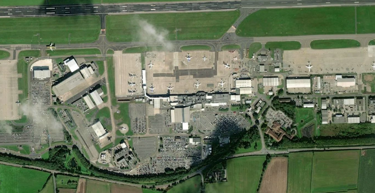
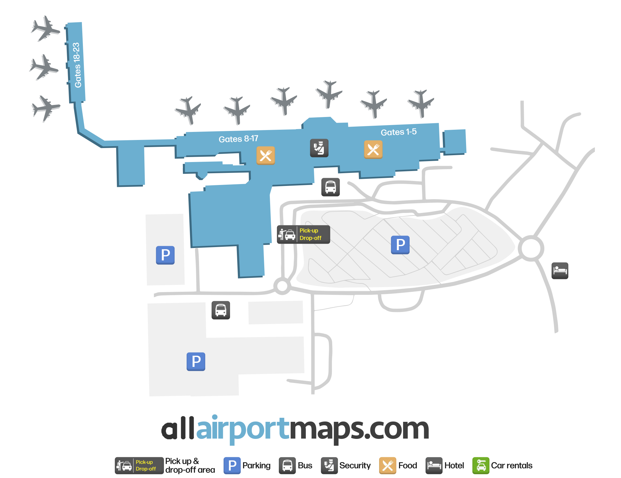
The airport consists of a single terminal. It handles both domestic and international flights.

Once clearing through security, there are several shops and areas for dining, including a lounge area.

The airside gates are situated in an L-shape, and numbered sequentially from right to left, when viewed from the front of the terminal building.

You can use our map at the top of this page to view the terminal layout, the location of the gates, as well as the main pick-up and drop-off area.

Airport Time Information - EMA Current Time

EMA Airport Current Time
Europe/London
--:--
Your Local Time
Your Location
--:--

Nottingham Airport Airport Information & Details

Airport IATA Code: EMA
Airport Location: Leicestershire Airport, United Kingdom
Coordinates: 52.825872, -1.330595
Timezone: Europe/London

Nottingham Airport Satellite View & Aerial Map

Nottingham Airport Airport Satellite View - EMA Aerial Map & Terminal Overview

Interactive Map - EMA Airport Location

External Maps - View EMA Airport on Google Maps & More