HKG Airport Terminal Map - Gates & Navigation
Hong Kong Airport, Hong Kong - Terminal Navigation Information
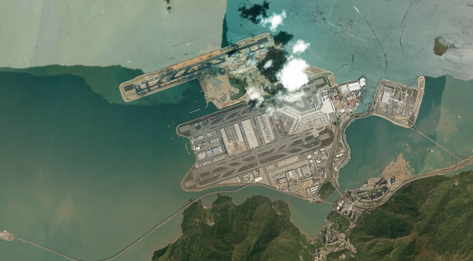
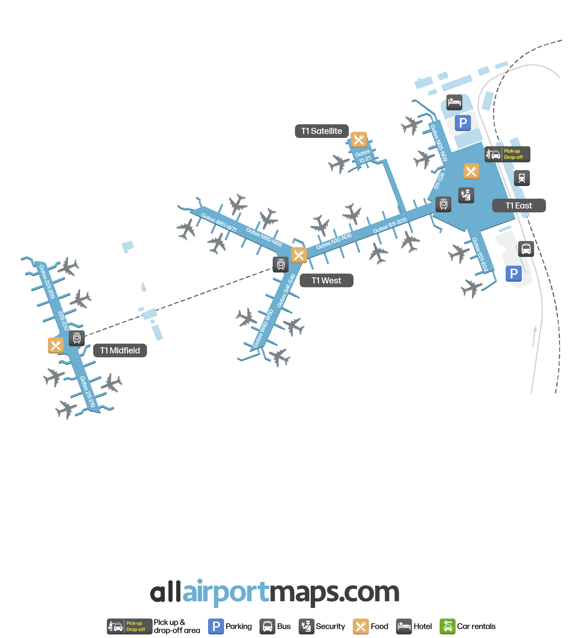
The airport terminal at Hong Kong International Airport (HKIA) is one of the largest passenger airport buildings in the world. It consists of an East Hall (T1 East), a West Hall (T1 West), a Satellite Concourse (T1 Satellite), and a Midfield Concourse (T1 Midfield).
The West Hall is primarily used by low-cost carriers and includes a large entertainment and retail center.
An automated people mover connects the East Hall, the West Hall, and the Midfield Concourse.
A sky bridge connects the main terminal building to the Satellite Concourse. This allows passengers to walk above taxiing planes, saving time from taking the airport shuttle bus.
Use our map at the top of this page to see the location of the terminals and their gates, as well as the airport's pick-up and drop-off locations.