KOA Airport Terminal Map - Gates & Navigation
Kailua-Kona Airport, United States - Terminal Navigation Information
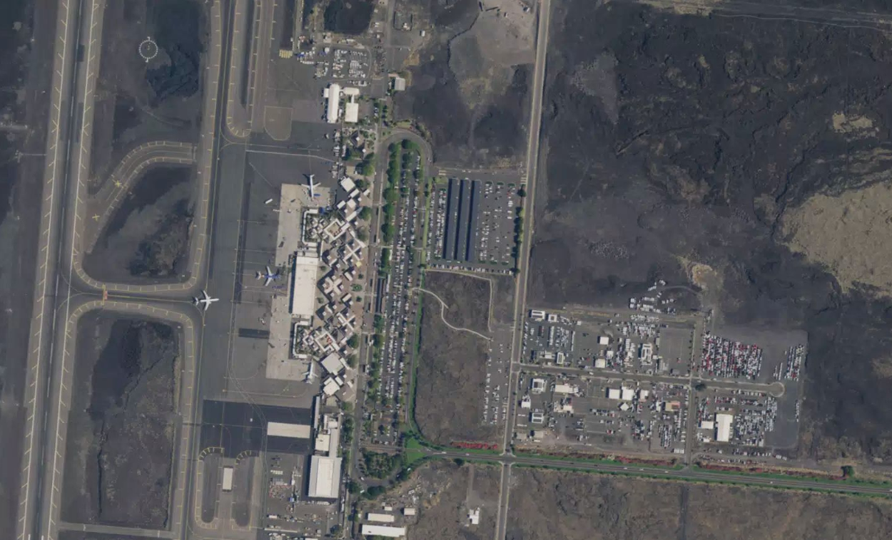
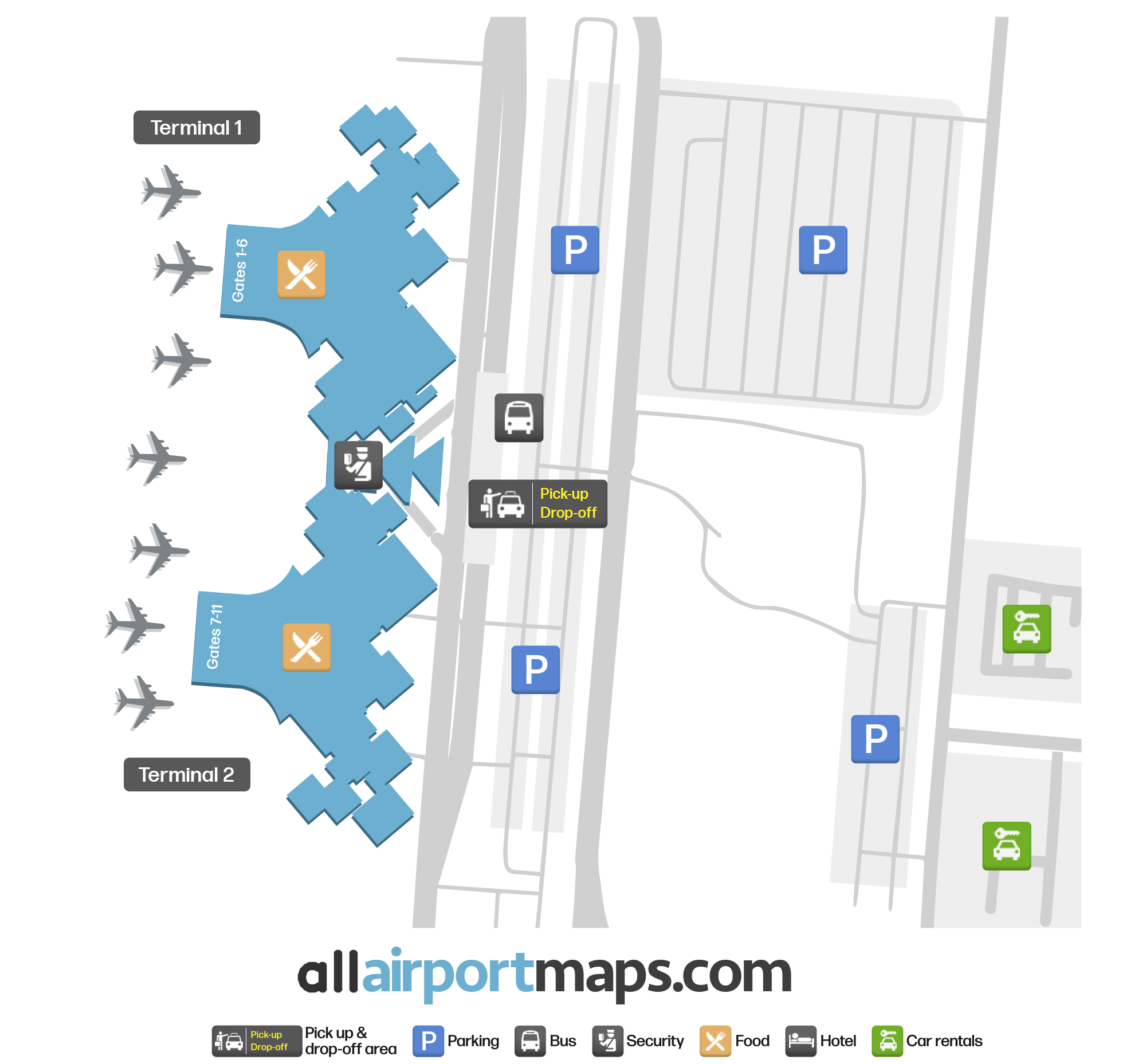
Kona Airport is an interwoven, open-air concept terminal that consists of several loosely-connected airport buildings. Officially, these are named Terminal 1, Terminal 2 and Terminal 3.
At the main entrance, using Terminal Drive is an area that includes several airport ticketing stations and information counters, including a lost and found centre and USDA inspection zone. There is a security checkpoint station centrally located beyond this area, between the entrances to Terminal 1 and Terminal 2.
Once past the security checkpoint area, Terminal 1 can be found to the right-hand side, as you are facing the airside of the terminal. Terminal 1 contains Gates 1-4.
To the left-hand side of the security checkpoint area, there are gates belonging to Terminal 2. This includes Gates 7-12.
Further to the south (left side of the airport) there is a third terminal, Terminal 3. This terminal is used for hosting smaller commuter flights.
This airport is the only major airport in the Hawaiian Islands that uses mobile stairs, or ramps, for passenger boarding.