SAT Airport Map - San Antonio International Airport Terminal Guide

San Antonio Airport, United States - Terminal Navigation Information

SAT Airport Terminal Map - Gates & Navigation

San Antonio International Airport Airport Terminal Map - SAT Gates, Airlines & Navigation Guide

San Antonio Airport: Terminal and gate map

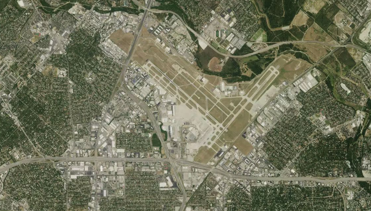
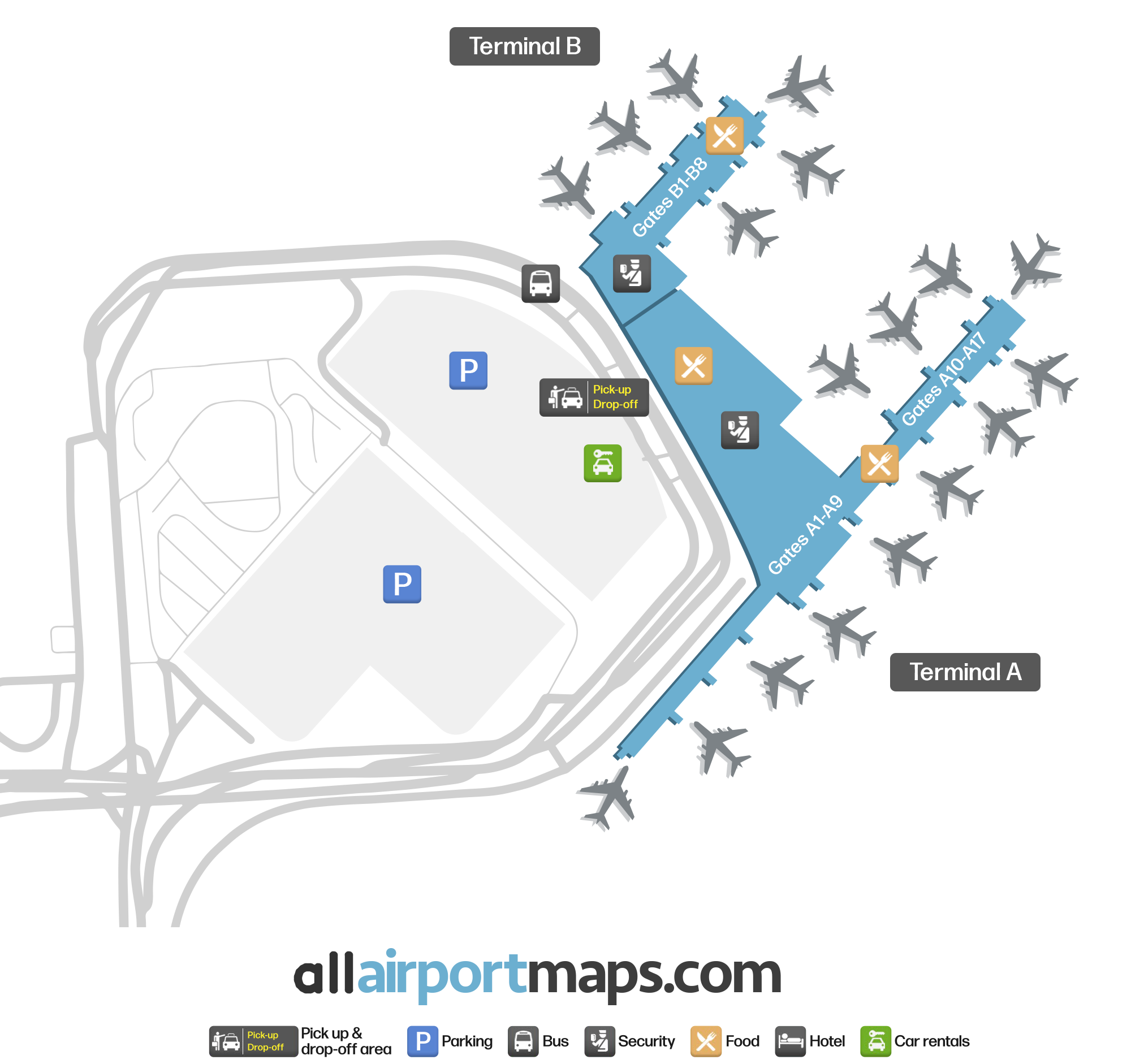
The airport consists of two terminals, Terminal A and Terminal B.

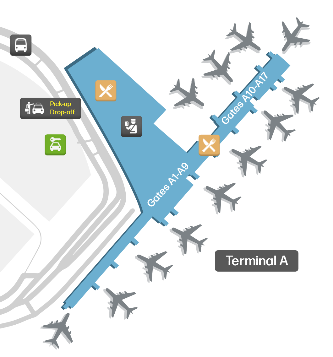
Terminal A: Handles all flights for international carriers. It is the larger of the two terminal buildings. Most of the airlines operating at the airport use Terminal A. Gates A are numbered in sequential order (A2-A17).

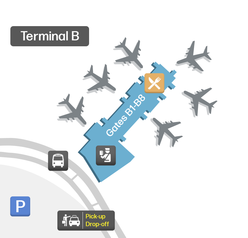
Terminal B: It is the smaller of the two terminals. It containsGates B (B1A-B9).

There is one main pick-up and drop-off zone for passengers arriving and departing from the terminals. Each terminal has its own check-in and security areas. You can use our map at the top of this page to view the complete terminal layouts.

Airport Time Information - SAT Current Time

SAT Airport Current Time
America/Chicago
--:--
Your Local Time
Your Location
--:--

San Antonio International Airport Airport Information & Details

Airport IATA Code: SAT
Airport Location: San Antonio Airport, United States
Coordinates: 29.524937, -98.472643
Timezone: America/Chicago

SAT Terminal Maps & Floor Plans

Terminal A Map - SAT Layout

SAT Terminal A Map - Floor Plan & Gate Layout

Terminal B Map - SAT Layout

SAT Terminal B Map - Floor Plan & Gate Layout

San Antonio International Airport Satellite View & Aerial Map

San Antonio International Airport Airport Satellite View - SAT Aerial Map & Terminal Overview

Interactive Map - SAT Airport Location

External Maps - View SAT Airport on Google Maps & More